Tuesday best day of the remainder of the week, stormy again by Wednesday morning!
Only small patches of snow at present, thus no lift served snowsports. Limited beginner terrain expected to open in the East for this weekend, along with the Glencoe sledge park in the West. Wild mid-week after a fine start on Tuesday, less windy for the weekend on current outlooks.
Monday was the sort of day that Glencoe would have hoped for on Sunday for the sale of the old Access Chairlift chairs, dry, fairly bright with a light to moderate wind. Alas Sunday saw rain of the sort where sitting in the river might have been a way to dry off!
Tuesday will start as Monday ended with a decent day with bright spells before the inwd begins to freshen late on, heralding a return to wet and windy, possibly with summit snow on Wednesday, at least for a time. Thursday looks blustery and Friday potentially stormy.
The early season snowsports on CairnGorm have ground to a halt for the time being, there are still lines of snow along the Ptarmigan Traverse and round onto the Traverse, but very little left in the Ptarmigan Bowl itself. It is not quite back to square one at the top of CairnGorm, but elsewhere it functionally is, so there will be a decent fall required to get natural snow based snowsports back up and running on CairnGorm now.
It is envisaged that the Daylodge beginner area on CairnGorm will open this coming weekend served by the Snowbadger magic carpets. However it looks unlikely significant natural snow is incoming for the Northern Cairngorms over the coming week / weekend, with pressure then looking set to rise towards Christmas. So it looks likely that the lower beginner zone will be all that is available in the days leading up to Christmas.
Glenshee are also aiming to open some beginner terrain the weekend before Christmas, but at update only the Rope Tow run was complete, with snow piles starting to be built up for the Dink Dink.
In the West there is at least the chance of some meaningful snowfall this week, but Wednesday is on a knife edge temperature wise. Even if Wednesday sees rain at all levels, the recent GFS model runs have been indicative of over 20 to 30cm of new snow on higher mountains near the West Coast by the end of the weekend.
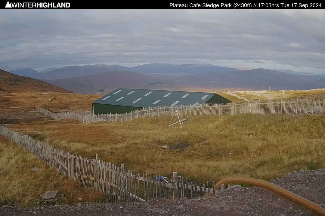
At Glencoe, the Plateau Cafe and the Sledge Park and due to open for the season on Saturday 20th Dec. First chair up at 9am, last chair up at 3.30pm and last chair down at 4pm. White Corries Cafe at the base is open 8am to 4.30pm at present.
The Nevis Range Gondola is also presently open daily (wind permitting) with the last gondola up at 3.45pm and last down at 4pm.
The three Pennine Clubfields all enjoyed a November start to their season, with Allenheads and Weardale notching up the first lift served UK snow turns of the season. There has not yet been sufficient snow at Raise in the Lake District and all clubfields are currently waiting for new snow.
For both Weardale and Allenheads, you need to join the club with a season pass, these are still available for both at this time.
Please check club access rules / availability if not a club member / pass holder.
Weardale: https: //skiweardale.com/ .
Allenheads:
http://ski-allenheads.co.uk/ .
Yad Moss: https: //yadmoss.co.uk/ .
Raise: https: //www.ldscsnowski.co.uk/ .
At 8pm in the West at the Glencoe SSC hut at 850m the mid mountain temperature was +1.0°c, with a South wind at a mean of 6 gusting 19mph. At the base it was +3.2°c.
The SAIS summit AWS on Aonach Mor was reporting -1.4°c. The Met Office station was reporting a South West wind at 23 gusting 39mph. It was +3.0°c at 680m at the CIC Hut. At Tulloch Station (237m) the temperature was +4°c.
In the East the CairnGorm the Met Office Summit AWS reported -1.8°c with West wind at a mean of 27 gusting 35mph. Aviemore was at +0.3°c at 8pm.
The Met Office Cairnwell AWS (3061ft /934m) reported -0.5°c with a SW wind at a mean of 16 gusting 22 mph.
Daytime Tuesday should be largely dry across the Highland mountains with varying amounts of bright / sunny spells, these more extensive towards the East. Some light wintry showers on hills along Western coastal fringes. Around minus 1°c rising +1°c at Munro Level. SW wins should be moderate much of the day, but start to pick up from the West later in the afternoon and through the evening.
South Westerly Storm Force winds on higher tops return for Wednesday, widely 55 to 60mph, with gusts to 70 to 80mph, but mean speeds may nudge over 70mph on and around the Cairngorm Plateau, and possibly the Nevis Range mountains during the afternoon. Early snow showers are likely to give way to persistent and increasingly heavy rain in the west to most if not all levels, while precipitation totals will be lower towards the North and East Cairngorms.
There is some uncertainty about the freezing level on Wednesday, expecting Munro Level temperature to be around -2 to -3°c pre dawn, around 0°c post dawn, rising to between +1 and +3°c by afternoon from the West. The balance of model and ensemble output does lift the freezing level above even the highest tops for several hours.
Thursday will be a blustery and wet day, though not as wild as Wednesday and the freezing level should be around or slightly below the higher tops. So the higher terrain will see snowfall with snow falling down to around Munro Level. Between 0 and +2°c at 900m. Southerly Gales around 40 to 45mph with gusts towards 55 to 60mph. Gust speeds likely to be considerably higher on and immediately downslope of plateau areas in the Nevis Range and Northern Cairngorms.
Friday looks likely to be fairly stormy again, with a mix of sunny spells and heavy squally showers, falling as snow on the mountains. More showers, less brightness towards the West Coast, where showers may merge into some longer spells of mountain snowfall. Around 0, lowering -1°c in showers at Munro Level. SW wind 50 to 60mph with gusts 70 to 80mph widely at Munro level.
Snow showers continuing Saturday for Western Hills, becoming more scattered further East with the wind speed set to moderate considerably from Friday. Overnight or during Sunday wind likely to back SE and moderate further, shifting the snow shower focus to the Cairngorms before these start to fade as geopotential heights rise over Highland Scotland in the run up to Christmas.
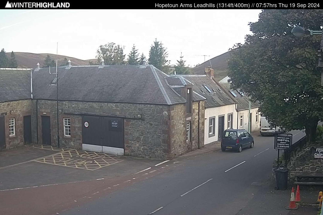
Lowther Hill: Leadhills webcam is online (24/7).
GLENCOE: All mountain webcams online and the first updated images will be shortly after 8am. The sledge park camera is online 24/7. Wind speed is available from base and mid mountain.